Set-up of a scientific float off Açores islands
![]()
August 2016
![]()
Scientific community
![]()
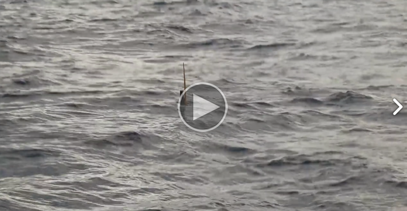
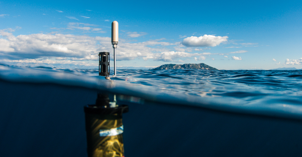
Transportation, activation and set-up of an ARGO float off Açores islands.
The ARGO program

What is ARGO ?
Argo is a UNESCO program with the goals to study marine environment and global warming. (Study of weather phenomenon like El Niño, water heights evolution, flooding, hurricanes and other consequences the affects particularly the coastal populations).
How does ARGO collect its data ?
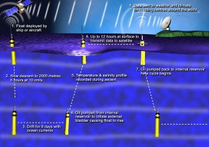
The array of ~3200 floats provides 100,000 temperature/salinity (T/S) profiles and velocity measurements per year distributed over the global oceans at an average 3-degree spacing. Floats will cycle to 2000m depth devery 10 days, with 4-5 year lifetimes for individual instruments. All data collected by Argo floats are publically available in near real-time via the Global Data Assembly Centers (GDACs) in Brest, France and Monterey, California after an automated quality control (QC), and in scientifically quality controlled form, delayed mode data, via the GDACs within one year of collection.


